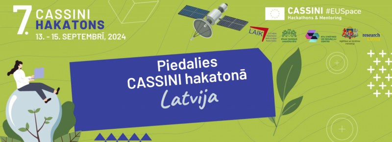
Latvia is among the 10 countries organizing the 7th Cassini Hackathon, which will take place on 13-15 September, 2024. The event of the space industry, which will be held at the Science and Innovation Center of the Riga Technical University, is open to all interested parties - from technology and environmental specialists to entrepreneurs, communication experts, students, and enthusiasts. Participants will compete for valuable cash prizes and a ticket to the European-level competition. Online registration for the Hackathon is open until September 5, 2024.
The 7th edition of the CASSINI Hackathon “Environment & Green Transition” will take place simultaneously in nine other countries: Spain, Romania, Poland, Norway, Italy, Greece, Czech Republic, Croatia, and Albania.
Target audience: experts, students, and enthusiasts in IT, environmental sciences, business, and communication. If you have experience working with satellite data - great! If not - also great, as we will provide technical sessions and support in Earth Observation and satellite navigation.
Date: 13-15 September 2024
Location: RTU Science and Innovation Center, Ķīpsalas Street 6A, Riga.
Website & registration: https://www.cassini.eu/hackathons/latvia
Objective: sustainability initiative ideas with commercial potential using the EU Space Programme's freely accessible Earth Observation (Copernicus programme) and satellite navigation (Galileo and EGNOS programmes) data. Additionally, Latvia’s hackathon partner, Airbus, will provide free access to commercial high-resolution Earth Observation data!
Support for teams: the teams will receive support from experts in satellite data analysis, business development and communication.
Subthemes: a wide range of cooperation partners will be involved in the hackathon, including the challenge owners, who will provide specific tasks for the participants:
- Riga City Council will invite participants to develop digitalization ideas for smart cities;
- Latvian National Peat Socienty is looking for ways to use satellite data in peatland and bog management, as well as in greenhouse gas emission calculations;
- Private Forest seeks ideas for using satellite data to support a sustainable and efficient forestry business;
- Gravity Team will challenge participants to use blockchain for satellite data verification and tracking in sustainable development, providing technical support for the use of blockchain technology.
*Participants can also propose other solutions; the main criterion is that they relate to sustainable development and use satellite data.
Support for teams: the teams will receive support from experts in satellite data analysis, business development, and communication.
Prizes: 3rd place – 400 EUR, 2nd place 700 EUR, 1st place 1,000 EUR & and the chance to compete with other countries' hackathon winners for additional cash prizes and mentorship!
European-level competition & start-up party: on 18 September 2024, a Demo Day event will take place, where the Latvian hackathon winner will compete online with other countries' hackathon winners. To support the Latvian team and celebrate this achievement, the Latvian Space Industry Association will organize this event in cooperation with the EIT Community Officer, inviting Latvia's deep tech ecosystem and all Latvia's CASSINI hackathon participants. During the event, the Investment and Development Agency of Latvia will present business support instruments for the further development of hackathon ideas and the EU Agency for the Space Programme (EUSPA) about EU Space Programme’s opportunities for business and science.
The event is organized by the Latvian Space Industry Association and the communication platform "researchLatvia" created by the Ministry of Education and Science will be supported by several partners and four challenge owners, who will share real-world problems and opportunities that can be harnessed using Earth observation and satellite navigation data.
About CASSINI and the EU Space Programme
CASSINI is a space business support programme and is part of the EU Space Programme.
The EU Space Programme has several elements, including programmes that provide data from EU satellites: the EU Earth Observation programme Copernicus and Global Navigation Satellite System (GNSS) Galileo and EGNOS. These programs have global coverage, and their data is freely available for both scientific and commercial applications. Copernicus data is updated every 1-5 days, and Galileo data is even more accurate than GPS!
Data obtained from space is actively used in digitalization solutions not only by professionals but also by the general public without specialized education in space, and increasingly in business. Satellite data can be used for information analysis, monitoring, and decision support in the following areas:
- Air quality and atmospheric chemical composition monitoring;
- Monitoring and management of forests, seas, rivers, lakes, bogs, and agricultural fields, etc.
- Climate change and weather forecasts
- Energy, defense and critical infrastructure security
- Discovery and protection of cultural heritage
- Smart agriculture, crop and livestock activities
- Detection of Earth's movements and related hazards
- Emergency response planning for rapid action by emergency and rescue services
- Road, maritime and air transport
- Smart logistics and smart city solutions, infrastructure development planning
- Security and defense, and more.


